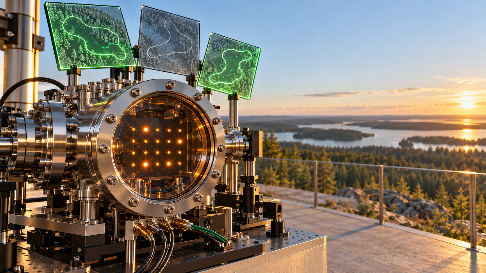
Université de Sherbrooke Plans Five Drone Surveillance Tours Over Quebec With Wildfire Risk Maps and a Neutral-Atom Quantum Heuristic, arXiv 2 October 2026: 31 Valid Plans on an Emulator, TRL 3
On October 2, 2026 four Université de Sherbrooke researchers posted a pipeline that turns machine-learned wildfire risk maps into daily routes for five surveillance drones over Quebec, with a neutral-atom quantum heuristic choosing which candidate tours can fly together. On Pasqal's EMU-SV emulator it returned a valid plan on all 31 days of July 2021 in 120 seconds each, where the HiGHS exact solver returned 10 in an hour per day. We read it as a dual-use mission-planning capability at TRL 3, set it against SuperQ's unquantified 1 October claim from the Bush Combat Development Complex, and note that hardware access after Pasqal's exit from Proqcima, a 1 hertz shot rate and unweighted encodings still stand between the paper and a program office.