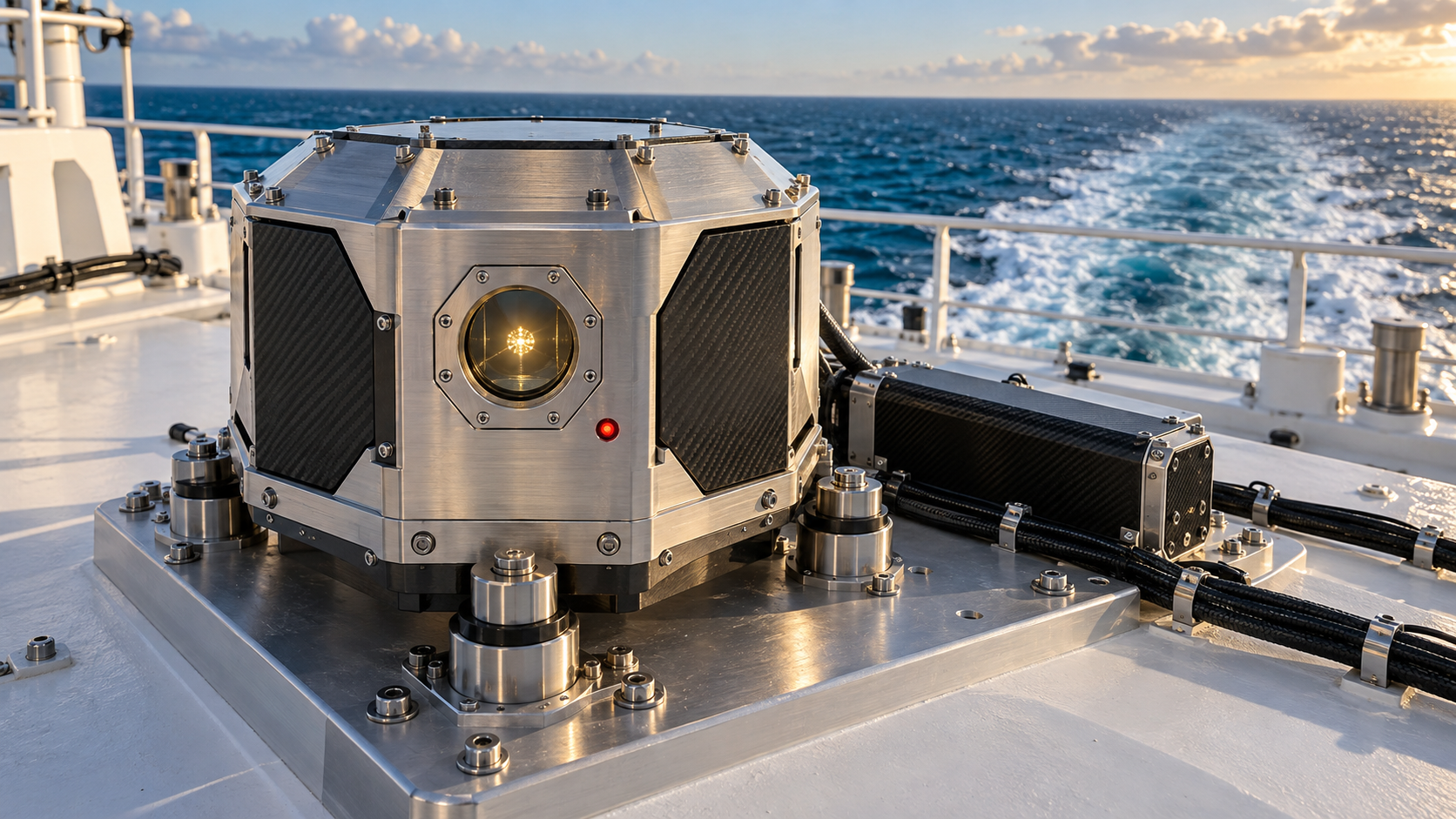
Q-CTRL Navigates 83 Kilometers of the Coral Sea Without GNSS Fixes: Near One Nautical Mile for 70 Kilometers, 2.2 at the Finish
Q-CTRL sails a 29-meter vessel 83 kilometers through the Coral Sea with GNSS observations withheld from the navigation solution: position bounded near one nautical mile for the first 70 kilometers and 2.2 nautical miles at the endpoint, where the unaided inertial system ended near 14 — a 6.3-fold reduction, delivered by a strapdown quantum gravimeter reading Earth's gravity field against a preloaded satellite-derived map. We weigh what a passive, unjammable GPS-denied navigation layer means for contested shipping lanes, and which questions about maps, endurance and accuracy still separate this sea trial from assured PNT a fleet could buy.